Skip to main content Skip to footer Sitemap

Historic trail of Mühlbach: A walk through 750 years of history

Gitschberg Jochtal
Add to favourites
Difficulty
Easy
Duration
0:30
in hours
Distance
1.3
in km
Status
open
Categories
  • Theme paths
  • Family hikings
  • Other hikes
Suggested period
Jan
Feb
Mar
Apr
May
Jun
Jul
Aug
Sep
Oct
Nov
Dec
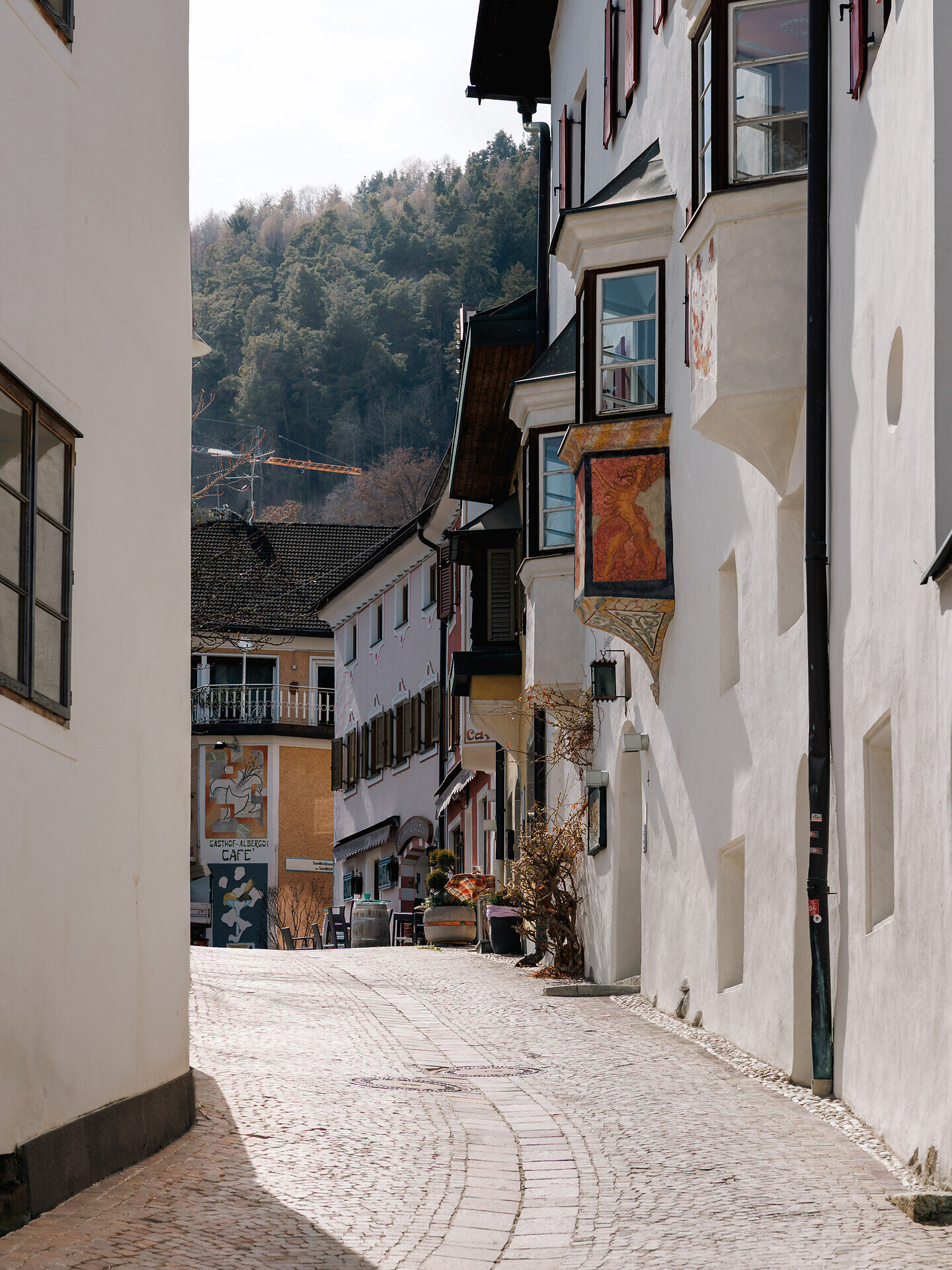
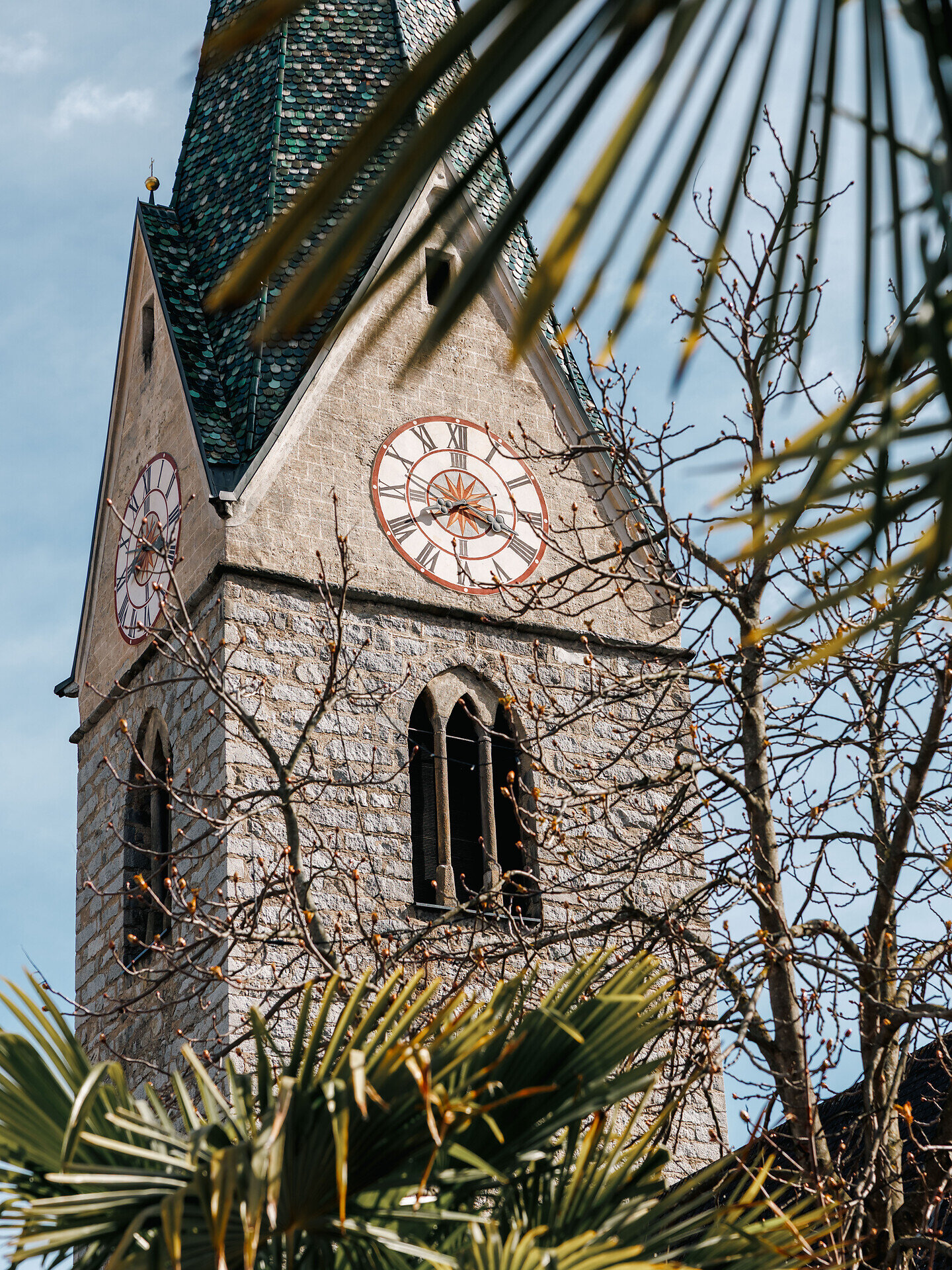
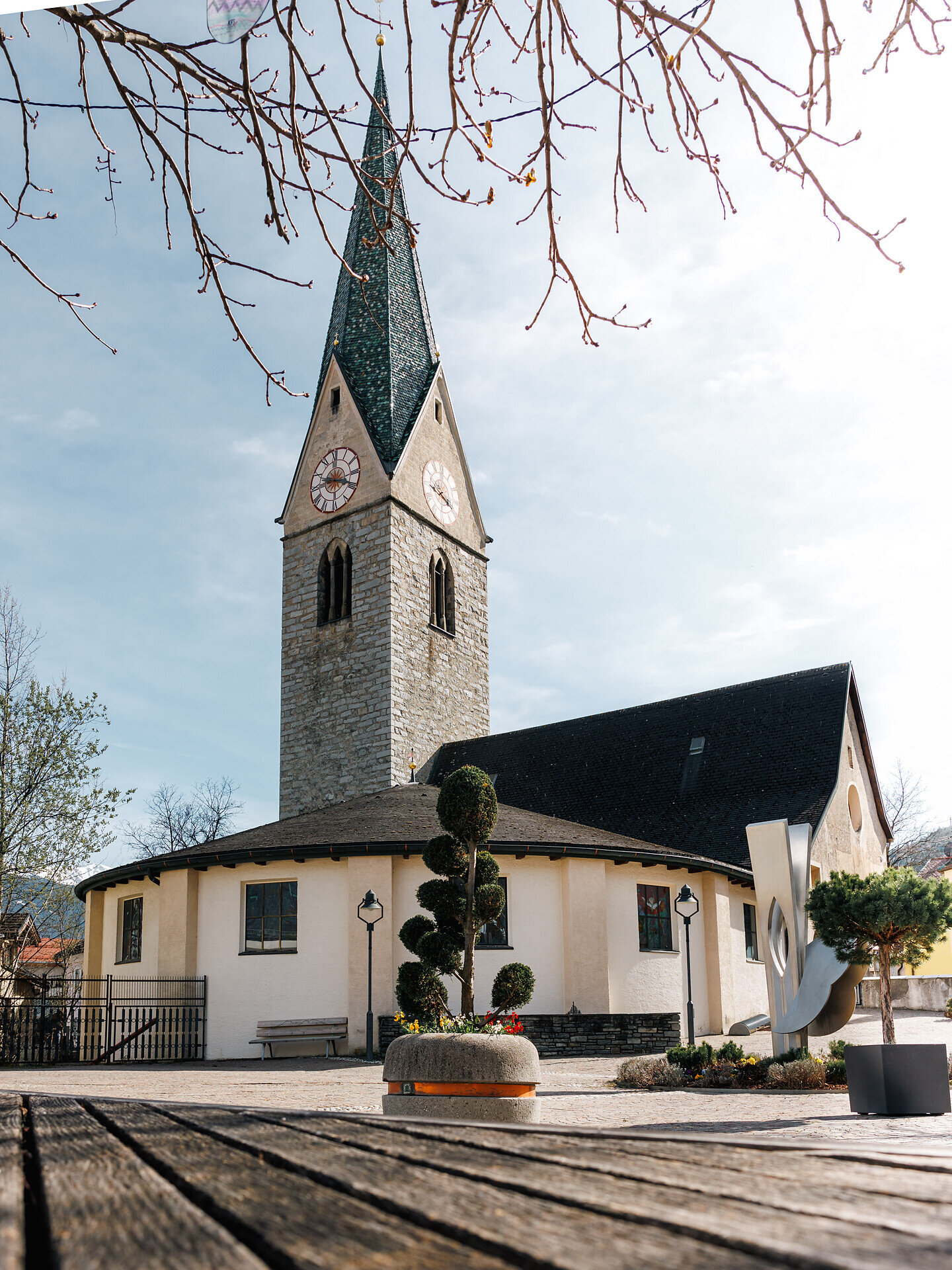
The Historic Trail of Mühlbach is an easy walk that introduces you to the history and culture of the market town. The route is particularly suitable for anyone wishing to discover the village and its stories. This walk is also suitable for pushchairs. 
Gallery
Further information and useful links

The starting point is in front of the information office by the chapel in Mühlbach. From there, you begin your journey through the history of the village. The Historical Trail leads you to ten stations marking Mühlbach’s 750th anniversary.

Along the route, you learn about the history of Mühlbach and gain insights into life in earlier times. At the end of the circular trail, you return to the starting point at the information office.

Categories
  • Theme paths
  • Family hikings
  • Other hikes
Route data
Easy
Distance
1,3 km
Duration
30 min
Ascent
24 m
Decent
24 m
Technical skills
Physical condition
Scenary
Highest point
778 m
Lowest point
754 m
Suggestions

In the ski and holiday area Gitschberg Jochtal you can get an Adventure Book at your accommodation or at the tourist offices. This special booklet features ten selected hikes, each with a stamp station along the way, where you can collect an imprint in your Adventure Book.

With three stamps, you can claim a bronze medal at the tourist offices in Mühlbach, Rodeneck, Terenten, Vals, or Meransen. Six stamps earn you a silver medal, and with all ten, you’ll be awarded the prestigious gold medal!

You might be interested in
Discover related tours
Brixen
Circular Hike North From S. Andrä to S. Leonhardo
Distance 6,9 km
Duration 2 h 06 min
Ascent 297 m
Decent 297 m
Status
open
panoramic path | © TV Terenten
Intermediate
Add to favourites
Gitschberg Jochtal
Panoramic trail around Terenten
Distance 15,6 km
Duration 5 h 00 min
Ascent 599 m
Decent 599 m
Status
open
Klausen
circular pear flour hike
Distance 4,1 km
Duration 1 h 05 min
Ascent 64 m
Decent 76 m
Status
open
Klausen
Saltnerstein (Gasser Hut) – Cross "Latzfonser Kreuz" – Saltnerstein
Distance 22,6 km
Duration 7 h 15 min
Ascent 1.002 m
Decent 1.002 m
Status
open
Barbianer Alm | © Wolfgang Gafriller
Intermediate
Add to favourites
Klausen
Barbiano - Huber Kreuz - Corno di Sotto
Distance 17,0 km
Duration 6 h 30 min
Status
open
Villanders Alp | © Koni Studios
Intermediate
Add to favourites
Klausen
Gasser Hütte- Rittner Horn
Distance 6,4 km
Duration 2 h 06 min
Ascent 538 m
Decent 38 m
Status
open
Where?
When?
Who?
Rooms
1