Skip to main content Skip to footer Sitemap

Pfunders Farm trail

Gitschberg Jochtal
Add to favourites
Difficulty
Intermediate
Duration
3:30
in hours
Distance
5.9
in km
Status
open
Categories
  • Theme paths
  • Other hikes
Suggested period
Jan
Feb
Mar
Apr
May
Jun
Jul
Aug
Sep
Oct
Nov
Dec

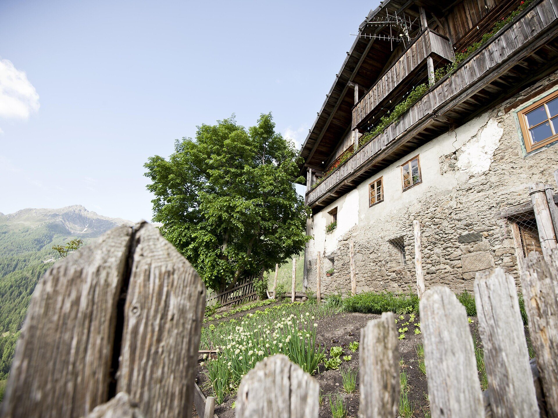
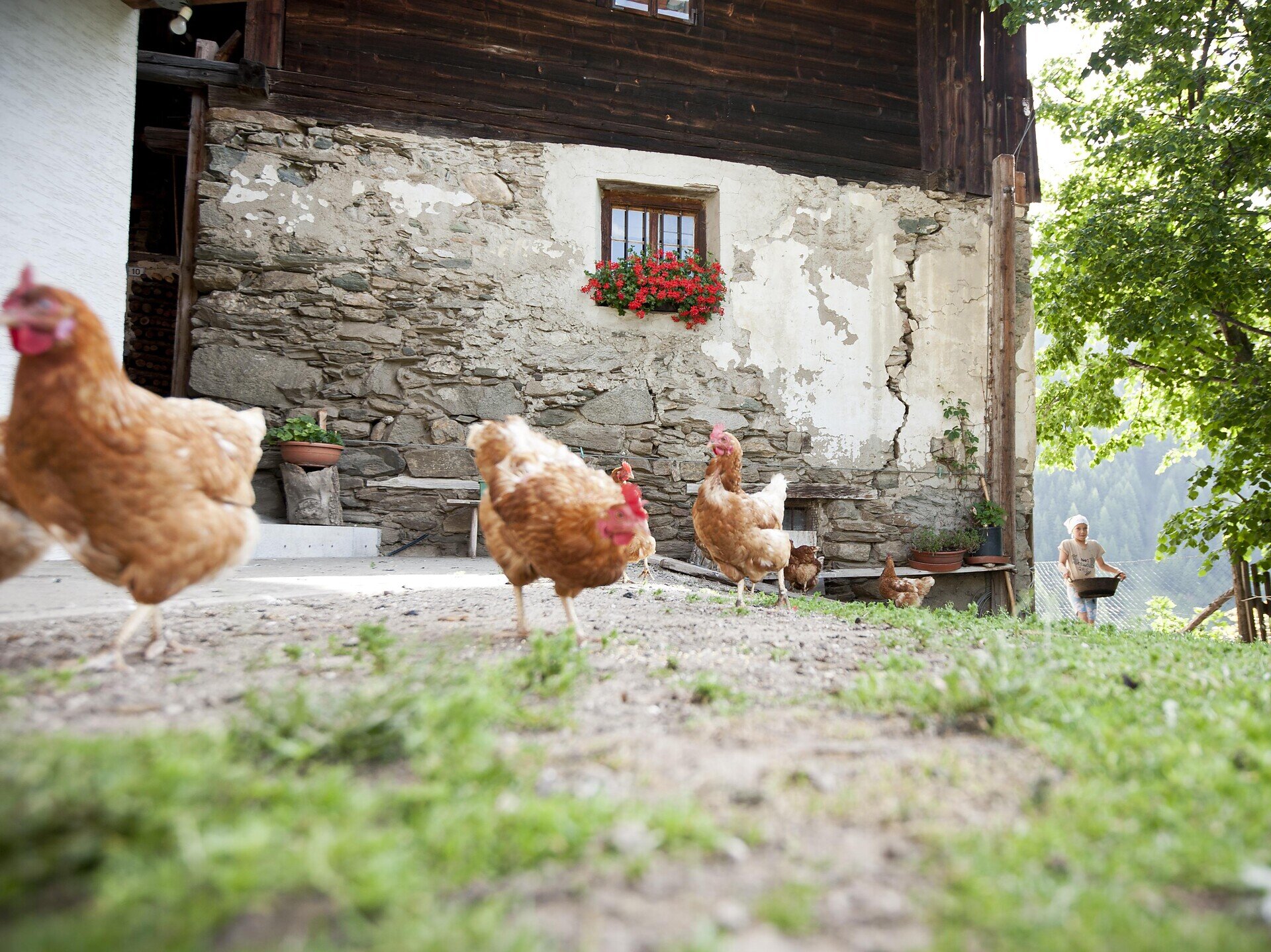
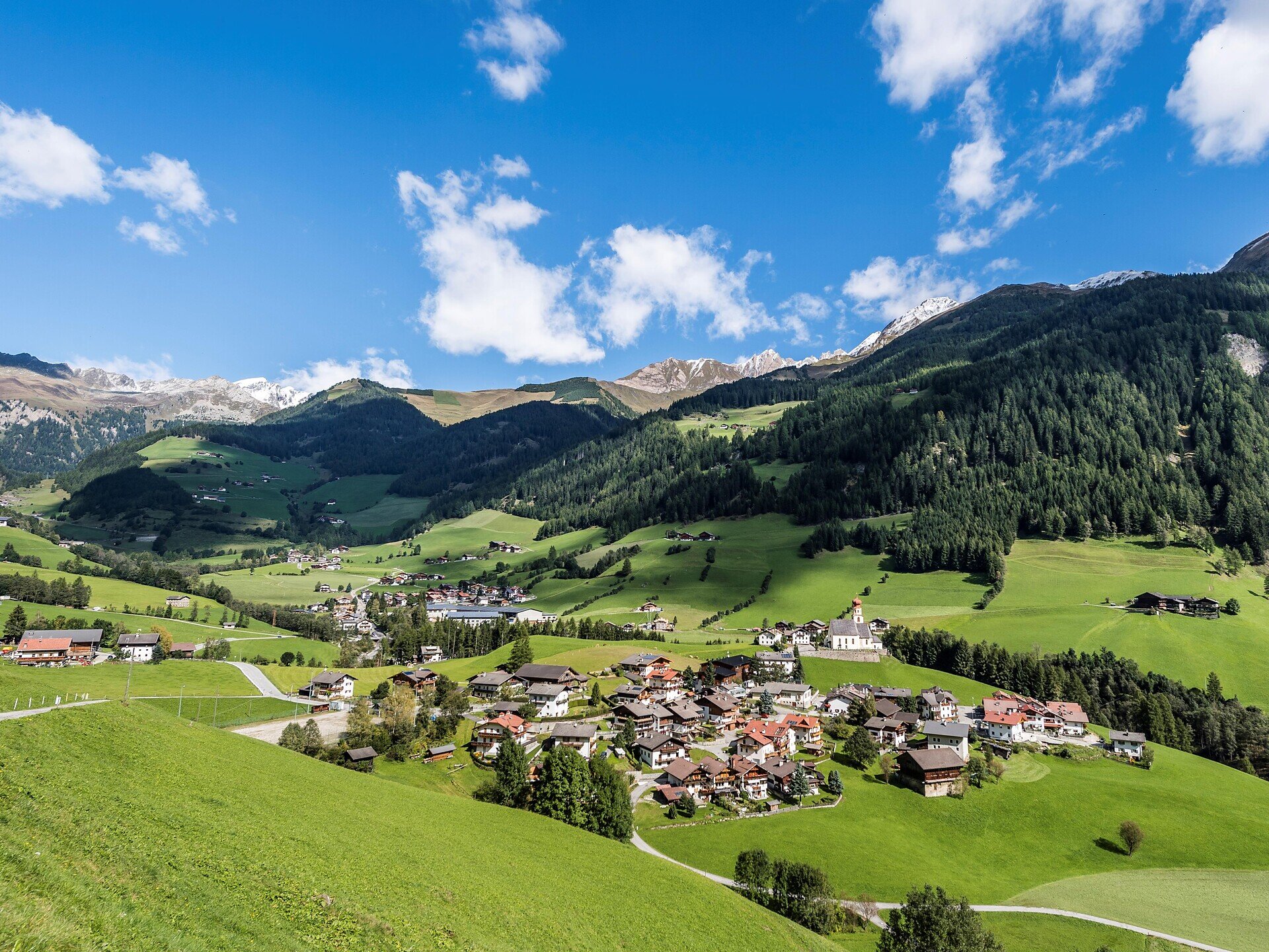
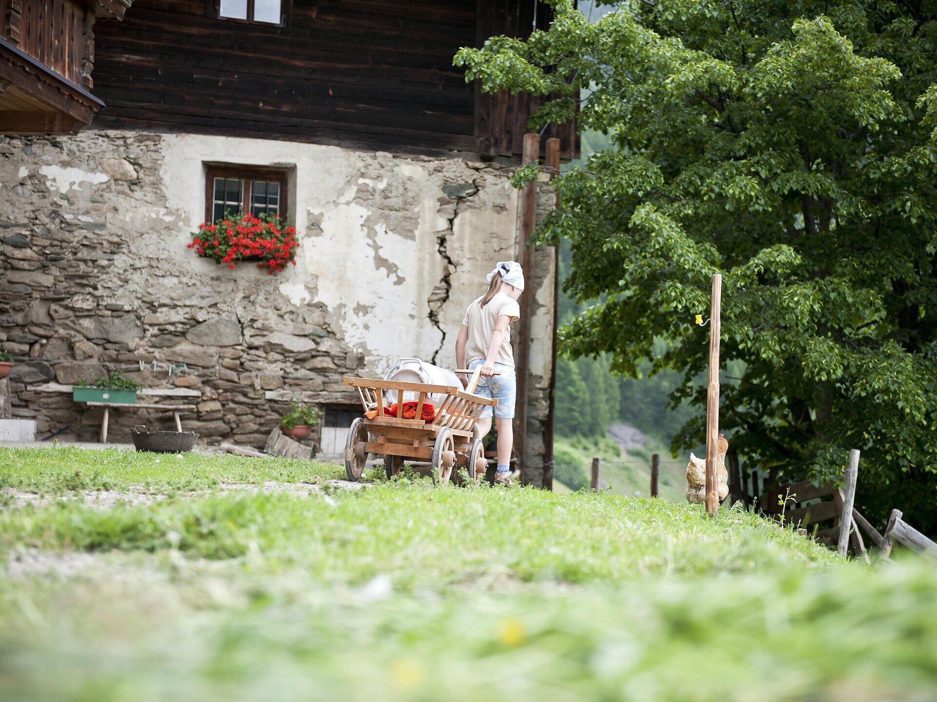
The Pfunderer Farms Trail takes you on a varied hike through forests and meadows and past traditional farms. Along the way, you can enjoy views of the surroundings and gain insights into the region’s nature and culture.
Gallery
Further information and useful links

The starting point of the hike is the sports field in Pfunders. From there, walk to Parthof, near the church. The Farm Trail then leads you along the shaded side of the valley to the viewing platform above Pichlerhof. The trail continues through the forest and then follows the Pfunders stream for a short distance. Cross a bridge and pass Obergasserhof and Wieserhof before reaching the provincial road. Cross the road and follow the narrow path through fields and meadows back to the starting point. The hike ends back at the sports field in Pfunders.

Information boards along the trail provide interesting facts about the nature and history of the region.

Categories
  • Theme paths
  • Other hikes
Route data
Intermediate
Distance
5,9 km
Duration
3 h 30 min
Technical skills
Physical condition
Scenary
You might be interested in
Discover related tours
Rienz Gorge Bridge natz | © TG Natz-Schabs, Florian Andergassen
Intermediate
Add to favourites
Natz-Schabs
Round Trip from Rodeneck to Natz
Distance 13,6 km
Duration 4 h 30 min
Ascent 830 m
Decent 830 m
Status
open
Klausen
circular pear flour hike
Distance 4,1 km
Duration 1 h 05 min
Ascent 64 m
Decent 76 m
Status
open
Natz-Schabs
Apple Trail in Natz-Schabs /Naz-Sciaves
Distance 7,7 km
Duration 2 h 30 min
Ascent 135 m
Decent 139 m
Status
open
Moutain pastures Latzfonser and Villanderer Alm | © Tobias Kaser Photography
Intermediate
Add to favourites
Klausen
Kaseregg - Saltner Hütte – Stöfflhütte – Kaseregg
Distance 9,6 km
Duration 2 h 50 min
Ascent 386 m
Decent 386 m
Status
open
Villanders village | © Tobias Kaser Photography
Intermediate
Add to favourites
Klausen
To the Villanders mine
Distance 8,0 km
Duration 3 h 20 min
Ascent 790 m
Decent 453 m
Status
open
Klausen
Törggele Hike Klausen - Pardell
Distance 8,5 km
Duration 2 h 35 min
Ascent 385 m
Decent 385 m
Status
open
Where?
When?
Who?
Rooms
1