
The Barbian Plum Trail is a family-friendly circular route leading through the lower and upper parts of the village. Along the way, information boards provide interesting facts about the Barbian plum, its cultivation and its importance to the village.
The walk follows village roads and paved paths through the cultivated landscape surrounding Barbian. The route passes Feltuner, the Wetterkreuz cross and several farms, offering beautiful views of the village and its surroundings.
This short circular route is particularly suitable for families and anyone wishing to discover Barbian on a leisurely walk. Check the current trail conditions before setting off and be aware that some sections follow roads.
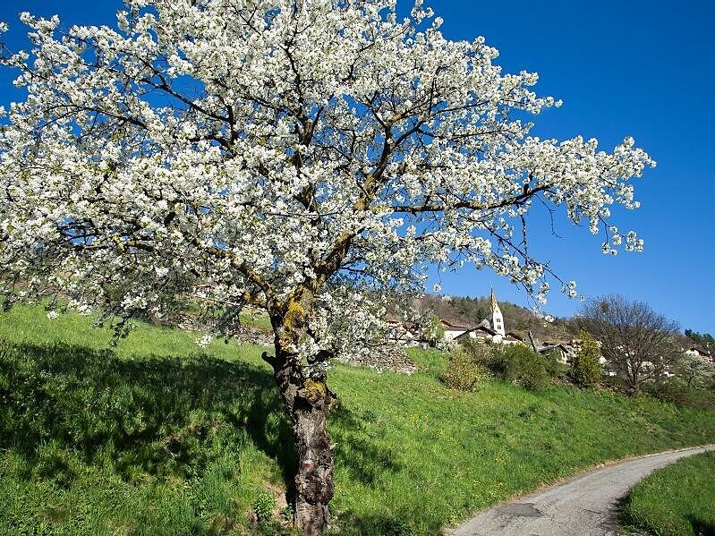
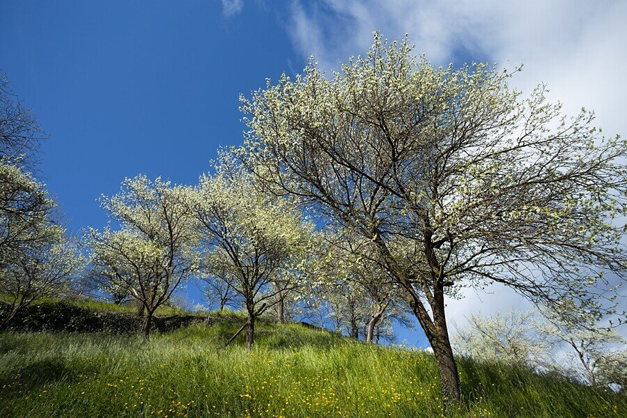
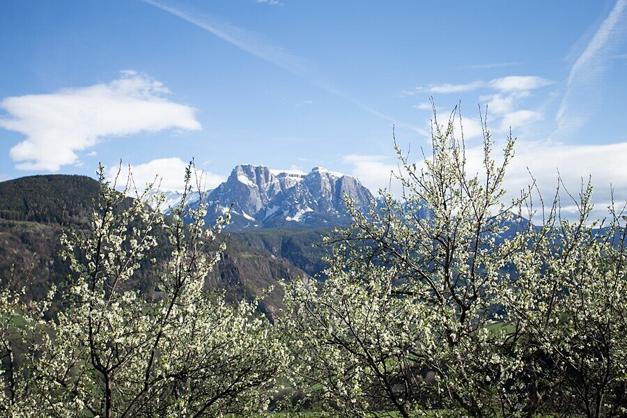
The circular walk starts in the village square of Barbian. From there, follow the signs for the “Plum Trail” towards the lower part of the village. The route passes Feltuner and continues to the Wetterkreuz cross. Along the way, several information boards provide interesting facts about the Barbian plum, its cultivation and its importance to the village.
From Wetterkreuz, the trail climbs past the Stich and Frühaufhof farms. Cross the road and continue uphill near Haus Urban until you reach a junction.
At the junction, keep right and follow the Plum Trail signs through the upper part of the village. From there, the route leads back to the starting point in the centre of Barbian.
Trail conditions:
The circular route mainly follows paved village roads and access roads, with some sections on field and meadow paths. Parts of the route run alongside roads, so children should be supervised carefully. Sturdy footwear is recommended. Unpaved sections can become slippery in wet conditions.
Starting and finishing point: Barbian village square
Distance: approximately 2.3 km
Walking time: approximately 45 minutes, excluding longer stops at the information boards
Ascent: approximately 111 m
Descent: approximately 111 m
Highest point: approximately 871 m
Difficulty: easy
Trail markers: no continuous numbering; follow the “Plum Trail” signs
Refreshment stops: several restaurants and cafés in the centre of Barbian
Suitable for pushchairs: yes, although some sections are steeper


