Skip to main content Skip to footer Sitemap

Round trail three villages (Latzfons - Garn - Verdings)

Klausen
Add to favourites
Difficulty
Intermediate
Duration
2:18
in hours
Distance
7.7
in km
Status
open
Categories
  • Theme paths
  • Family hikings
Suggested period
Jan
Feb
Mar
Apr
May
Jun
Jul
Aug
Sep
Oct
Nov
Dec
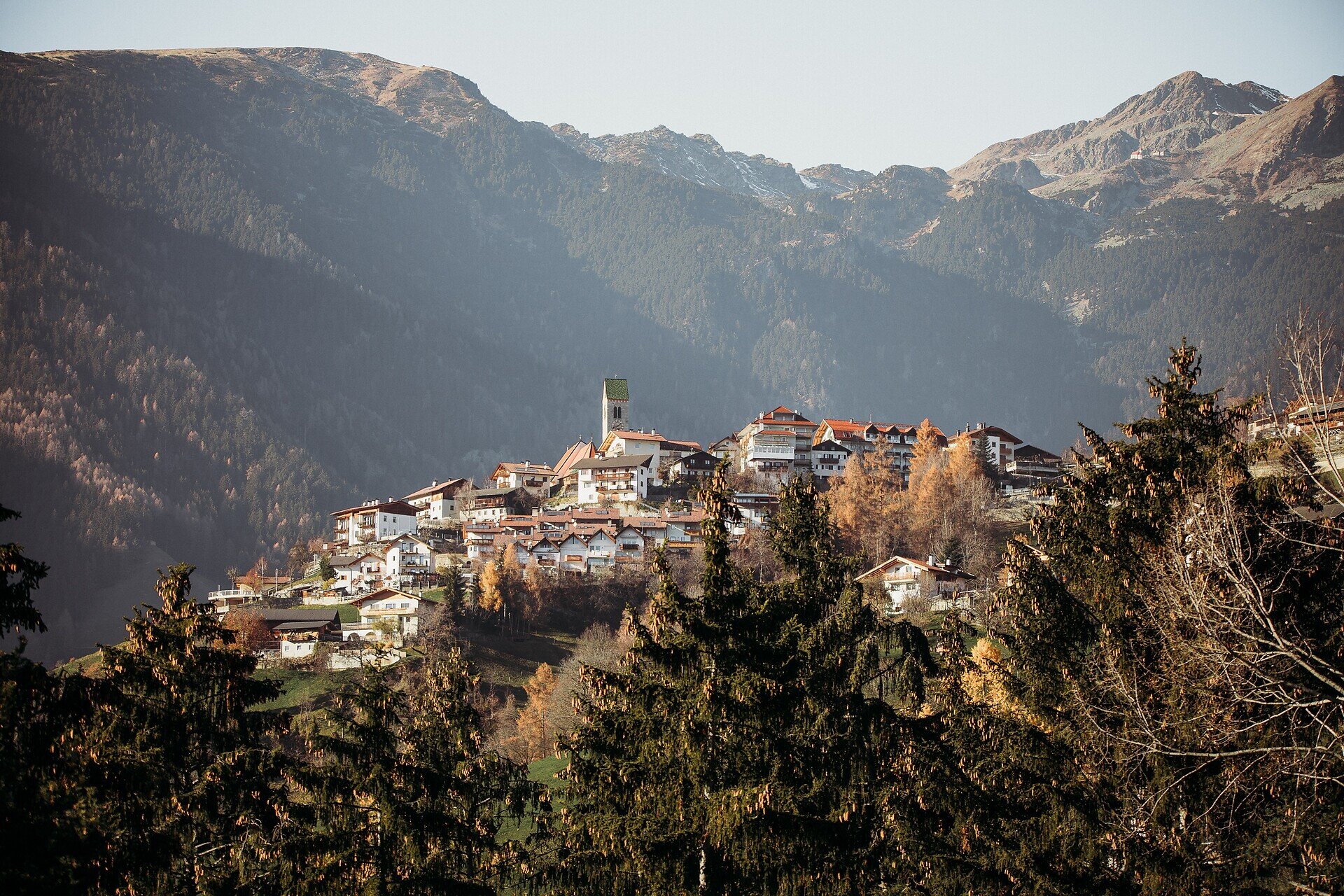
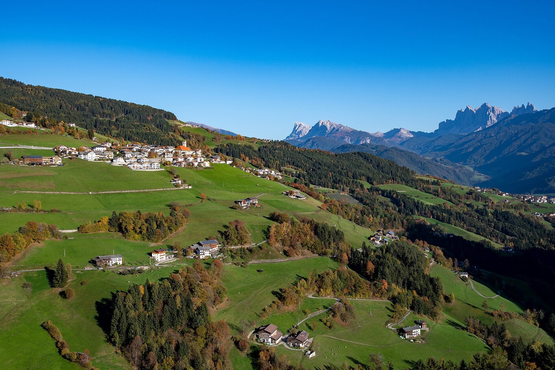
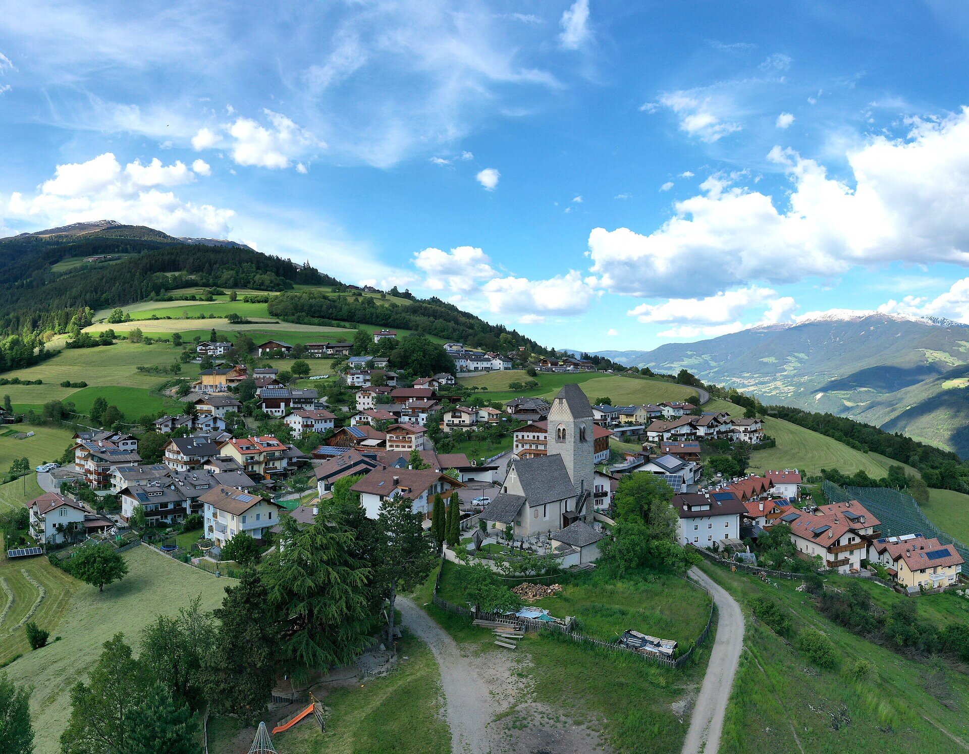
Circular hike through Latzfons, Garn and Verdings with varied landscapes, beautiful views and insights into South Tyrol’s rural culture.
Beautiful circular hike through the varied landscape around the three villages of Latzfons, Garn and Verdings. The route combines nature, culture and wonderful views of the surrounding mountains.
Gallery
Further information and useful links
Starting from Latzfons, follow trail no. 1A to Verdings. Continue along trail no. 10 to Garn. From there, trail no. 19 leads back to the starting point.
Categories
  • Theme paths
  • Family hikings
Route data
Intermediate
Distance
7,7 km
Duration
2 h 18 min
Ascent
304 m
Decent
308 m
Technical skills
Physical condition
Scenary
Highest point
1.218 m
Lowest point
972 m
You might be interested in
Discover related tours
Wasserfälle | © Ivan Faller
Intermediate
Add to favourites
Klausen
Waterfall of Barbian/Barbiano
Distance 4,7 km
Duration 2 h 40 min
Ascent 411 m
Decent 410 m
Status
open
Radllake | © Brixen Tourismus Gen.
Intermediate
Add to favourites
Brixen
From Gereuth on Pfeffersberg mountain to the Hundskopf summit and Radlseehütte mountain hut
Distance 9,4 km
Duration 3 h 35 min
Ascent 971 m
Decent 971 m
Status
open
Klausen
Gufi Walk in Gufidaun
Distance 2,3 km
Duration 42 min
Ascent 107 m
Decent 88 m
Status
open
Klausen
From Feldthurns to Verdings
Distance 5,7 km
Duration 1 h 43 min
Ascent 234 m
Decent 225 m
Status
open
Obervintl | © Hannes Niederkofler
Intermediate
Add to favourites
Gitschberg Jochtal
Castel Raubschlössl circular route
Distance 4,8 km
Duration 2 h 00 min
Ascent 320 m
Decent 320 m
Status
open
Königanger peak | © Helmuth Rier
Intermediate
Add to favourites
Klausen
From the Garner weather cross to the Königsanger peak
Distance 11,4 km
Duration 4 h 08 min
Ascent 1.032 m
Decent 1.032 m
Status
open
Where?
When?
Who?
Rooms
1