It is a precious habitat, home to both people and wildlife – a place where we can breathe deeply and reconnect with ourselves. And it is exactly this space we want to protect. How, you might ask?
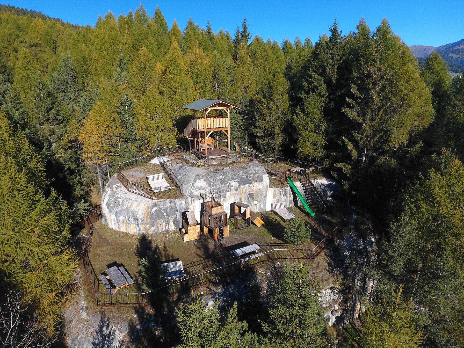
The hike from Mühlbach to Spinges is suitable for families and nature lovers. Along the way, you can enjoy views of the surrounding landscape. A historic bunker on the route is a particularly interesting stop for children.
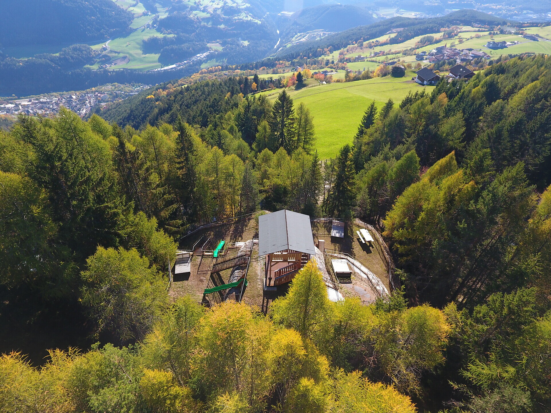
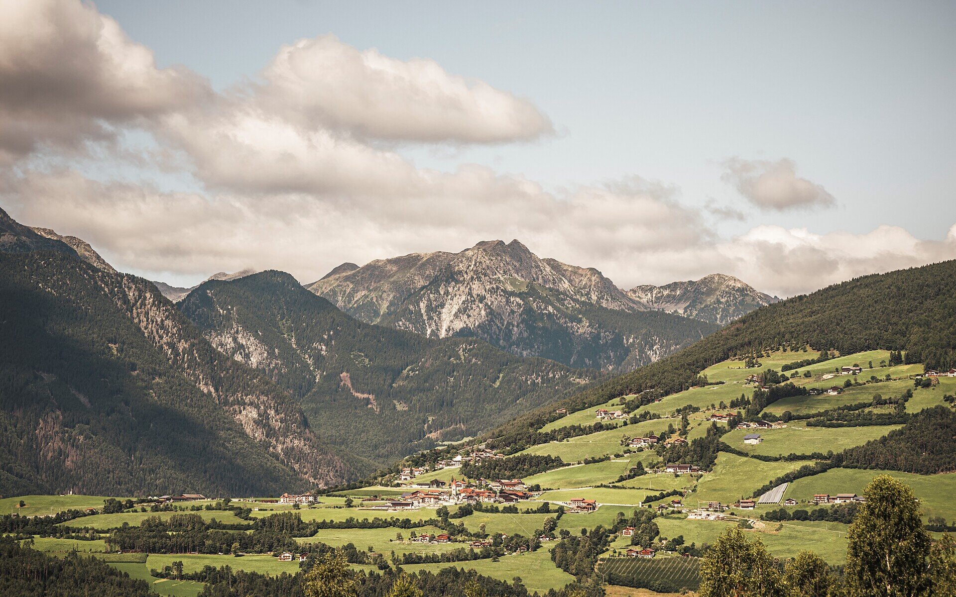
The starting point of the hike is Mühlbach. From there, follow the hiking trail to the neighbouring village of Spinges. Along the way, you can enjoy beautiful views of the surrounding landscape and pass several points of interest. The destination of the hike is the Breathing Bunker in Spinges, which, with its wide panoramic views and playful interactive elements, makes an ideal destination, especially for families with children.
Categories
Other hikes
Family hikings
Route data
Intermediate
Distance
3,4 km
Duration
2 h
00 min
Ascent
596 m
Decent
16 m
Technical skills
Physical condition
Scenary
Highest point
1.355 m
Lowest point
767 m
Suggestions
In the ski and holiday area Gitschberg Jochtal you can get an Adventure Book at your accommodation or at the tourist offices. This special booklet features ten selected hikes, each with a stamp station along the way, where you can collect an imprint in your Adventure Book.
With three stamps, you can claim a bronze medal at the tourist offices in Mühlbach, Rodeneck, Terenten, Vals, or Meransen. Six stamps earn you a silver medal, and with all ten, you’ll be awarded the prestigious gold medal!
public transportation
Take bus no. 401 or the train to Mühlbach.
How to get there
From the Brixen/Pustertal exit of the A22 motorway, follow the SS49 towards the Puster Valley until you reach Mühlbach.
Where to park
You can park in Mühlbach at the train station, by the cemetery or in the village centre. From there, you can start your hike.